Permafrost DrillingDrilling enables us to look for permafrost and ground ice. When permafrost and ground ice is found we measure the depth and can decide to collect a core. Drilling also enables us to validate our GPR surveys.

Misha (taking notes) and Ben J. (inserting the drill auger into the gorund) drilling permafrost in Bethel, AK.
Ground Penetrating Radar (GPR) SurveysThe GPR is used to map subsurface conditions. With this method we can find the top of permafrost table and identify the presence of ground ice. Drilling is done to validate interpretations of the GPR data and ground coring can measure ground ice content.

An example of an GPR survey output. A feature of interest, potentially the upper limit of the permafrost table is seen at approximately 6 m depth.
Soil SurveysWe are using soil surveys to understand how the upper 1 m (~3.2 ft) of soil evolves over time when land (particularly land containing permafrost) is cleared for agriculture.

A soil survey in progress. The markers delineate horizon boundaries and other features of interest.
|
Permafrost CoringCollecting permafrost cores allows us to characterize soil properties (e.g. texture) and measure ground ice content.

an example of a permafrost core collected in Bethel, AK.
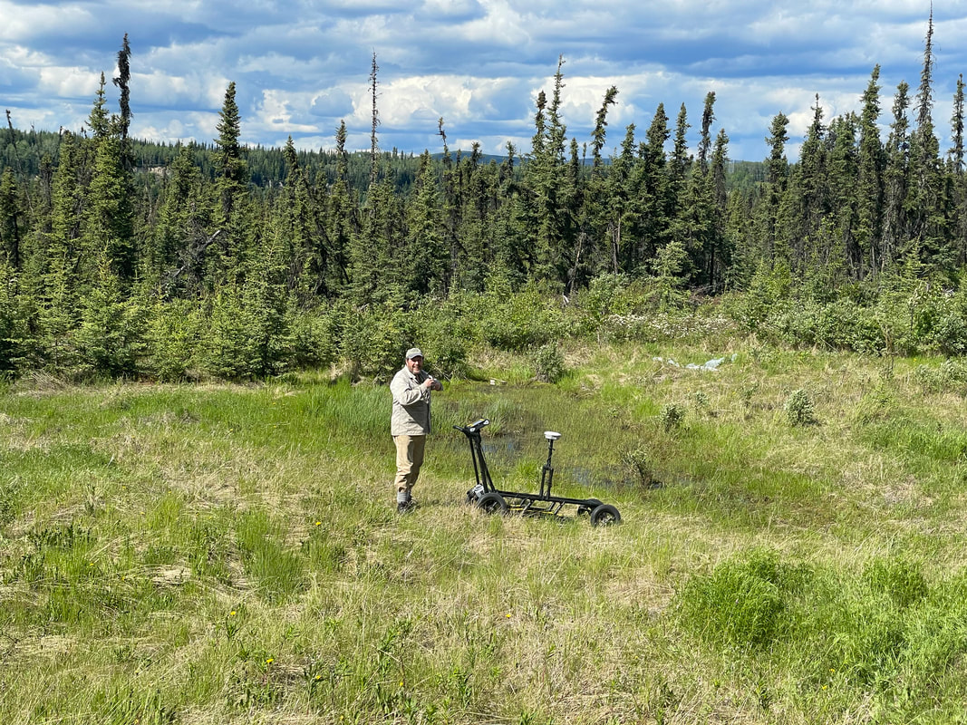
Misha conducting a GPR survey.
Dendro-geomorphologyWhen trees lean due to thawing ice-rich permafrost that generates subsidence, they create reactionary wood that gets incorporated into trees rings, enabling us to date the timing of the permafrost thaw.

An example of a tree core collected using during the summer field season. The reactionary wood (darker and thicker rings near the core boundaries) also us to date when the tree began to lean as a result of permafrost thaw.
|

Permafrost Grown's LiDAR drone.
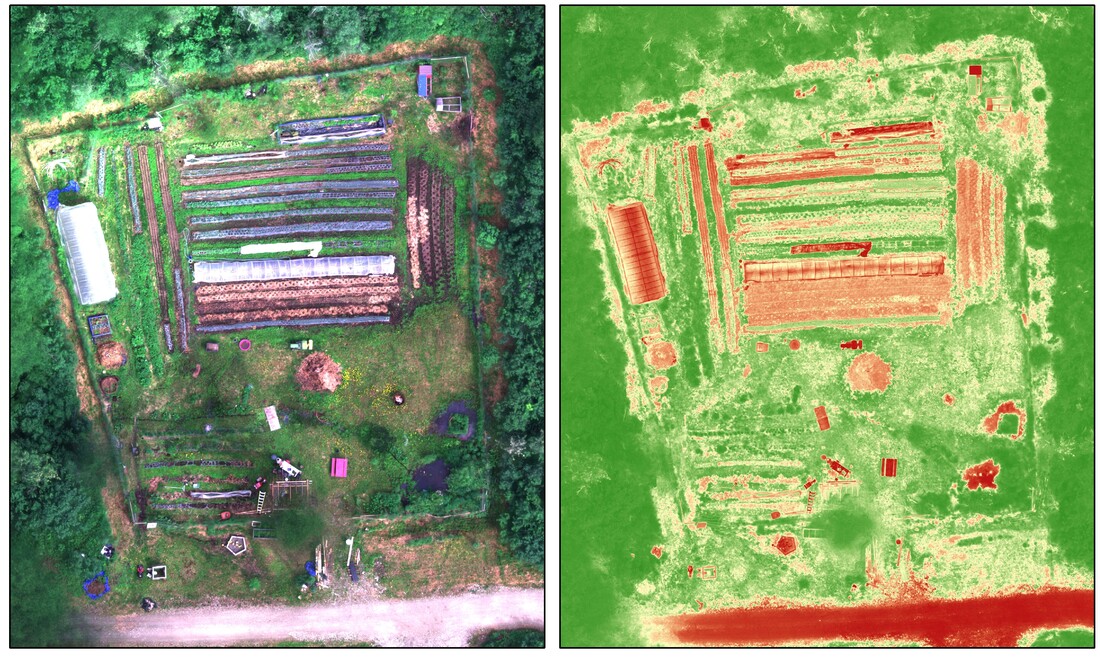
A UAV survey of a farm in Fairbanks shows a visible image mosaic on the left and a normalized difference vegetation index image on the right. Areas identified with less productive crop growth will be further investigated for permafrost conditions.
|

Point cloud LiDAR image of the surface cover of the old potato field on UAF campus. The mapped ground surface is seen below.

Surface terrain model mapped during the LiDAR on of the old potato field on UAF campus. Tree cover overlying the surface is seen in the image above.
|
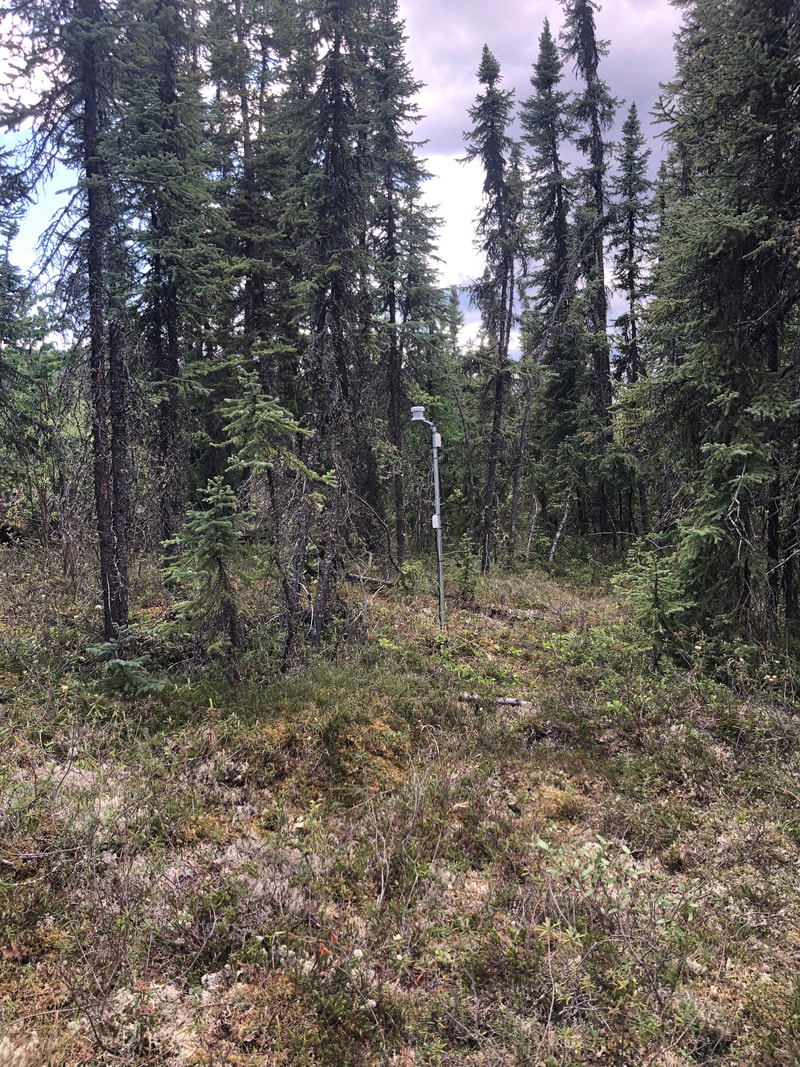
Air and soil sensors installed in an undisturbed spruce forest adjacent to cleared field in Fairbanks, AK.
|
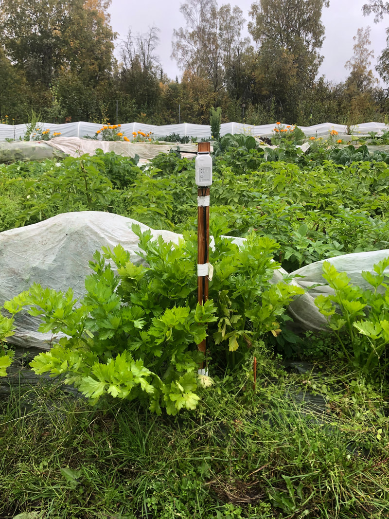
Soil moisture and temperature sensors monitoring a celery trial.
|
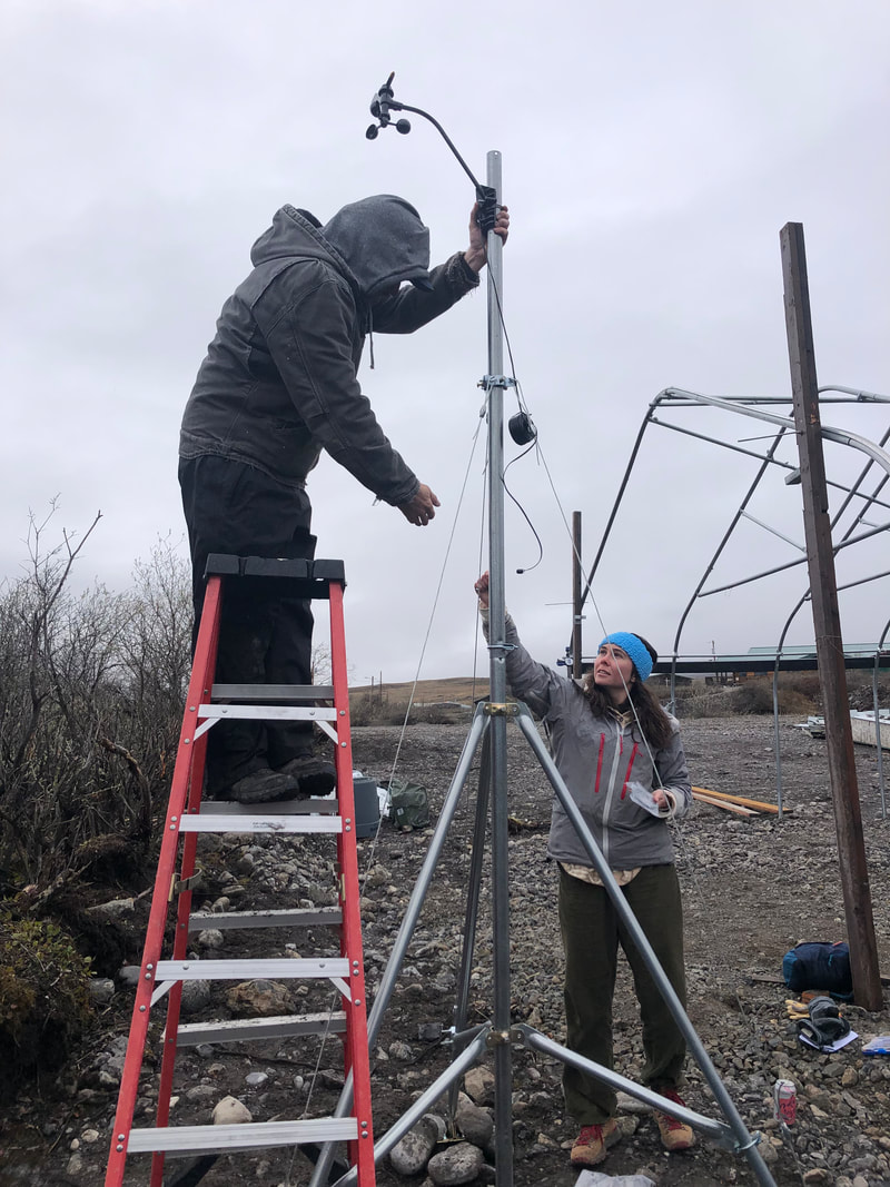
Ben J. and Amber installing a weather station in Anaktuvuk Pass.
|

Asparagus trial at a Fairbanks farm.
|
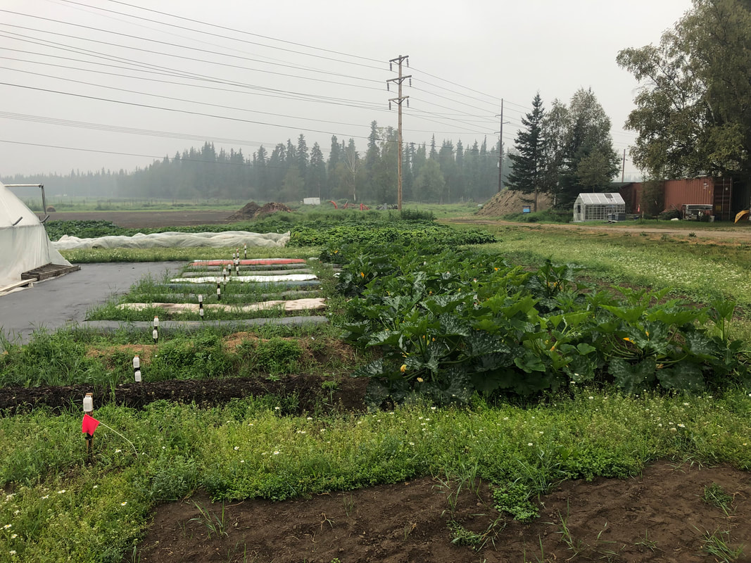
The Permafrost Grown Great Mulch study on UAF campus.
|
Surveys and InterviewsWe distribute an annual survey to our farmer-collaborators to help us plan field logistics and learn more about their farm and agricultural practices. We also have plans to conduct a wider-community based survey to learn about the greater permafrost-agroecosystem community. We are also conducting interviews to better understand the personal, economic, and social experiences permafrost-agroecosystems.
|
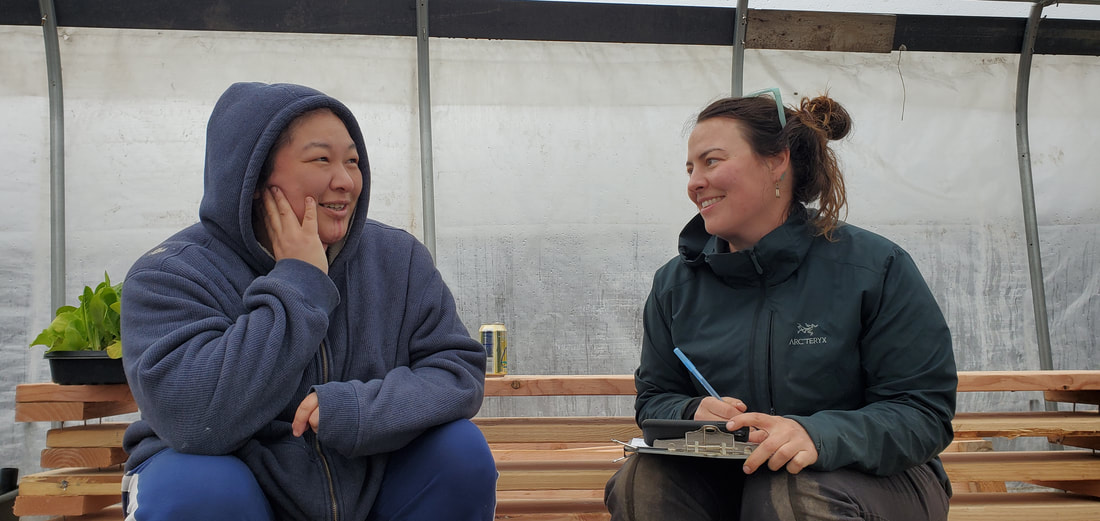
Glenna conducting an interview in Anaktuvuk Pass.
|
Education and OutreachPermafrost Grown is creating diverse outreach and education materials including an interpretive sign of our Great Mulch Study at the UAF Georgeson Botanical Gardens. We have also produced hand outs and an activity sheet that can be found on our publications and media page.
|
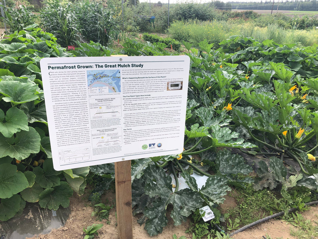
The Great Mulch Study interpretive sign and accompanying demo plots at the UAF Georgeson Botanical Gardens.
|
|
|
The funding for this project is from the US National Science Foundation’s Navigating the New Arctic initiative under RISE award 2126965. |

|
This project was led by researchers at the University of Alaska Fairbanks. UA is an AA/EO employer and educational institution and prohibits illegal discrimination against any individual: www.alaska.edu/nondiscrimination.
|